Federal land policy in Maine
This article does not contain the most recently published data on this subject. If you would like to help our coverage grow, consider donating to Ballotpedia.
| Public Policy |
|---|
| State environmental policy |
Federal land policy involves the ownership and management of land owned by the federal government. As of 2012, the federal government owned between 635 million to 640 million acres, or 28 percent, of the 2.27 billion acres of land in the United States. Federal land is managed for many purposes, such as the conservation and development of natural resources, grazing and recreation. As of 2012, the federal government owned 1.06 percent of Maine's total land, 209,735 acres out of 19,847,680 total acres.
Land ownership
- See also: Federal land policy and Federal land ownership by state
The federal government owned between 635 million and 640 million acres of land in 2012 (about 28 percent) of the 2.27 billion acres of land in the United States. Around 52 percent of federally owned acres were in 12 Western states—including Alaska, 61 percent of which was federally owned. In contrast, the federal government owned 4 percent of land in the other 38 states. Federal land policy is designed to manage minerals, oil and gas resources, timber, wildlife and fish, and other natural resources found on federal land. Land management policies are highly debated for their economic, environmental and social impacts. Additionally, the size of the federal estate and the acquisition of more federal land are major issues.[1][2]
According to the Congressional Research Service, Maine spans 19.8 million acres. Of that total, 1.1 percent, or 209,735 acres, belonged to the federal government as of 2012. More than 19.6 million acres in Maine are not owned by the federal government, or 14.78 non-federal acres per capita. From 1990 to 2010, the federal government's land ownership in Maine increased by 33,249 acres.[1]
The table below shows federal land ownership in Maine compared to neighboring states. The U.S. National Park Service owned 66,898 acres in Maine compared to 32,946 acres in Massachusetts and 13,168 acres in New Hampshire. The U.S. Fish and Wildlife Service, which manages endangered species, owned 65,987 acres in Maine compared to 21,850 acres in Massachusetts and 25,989 in New Hampshire.
| Federal land ownership in Maine and other states by agency | |||||||||||
|---|---|---|---|---|---|---|---|---|---|---|---|
| State | |||||||||||
| Agency | Maine | Massachusetts | New Hampshire | ||||||||
| Acres owned | Percentage owned | Acres owned | Percentage owned | Acres owned | Percentage owned | ||||||
| U.S. Forest Service | 53,709 | 25.61% | 0 | 0.00% | 735,519 | 94.56% | |||||
| U.S. National Park Service | 66,898 | 31.90% | 32,946 | 40.33% | 13,168 | 1.69% | |||||
| U.S. Fish and Wildlife Service | 65,987 | 31.46% | 21,850 | 26.75% | 25,989 | 3.34% | |||||
| U.S. Bureau of Land Management | 0 | 0.00% | 0 | 0.00% | 0 | 0.00% | |||||
| U.S. Department of Defense | 23,141 | 11.03% | 26,896 | 32.92% | 3,131 | 0.40% | |||||
| Total federal land | 209,735 | 100% | 81,692 | 100% | 777,807 | 100.00% | |||||
| Source: Congressional Research Service, "Federal Land Ownership: Overview and Data" | |||||||||||
Land usage
Recreation
Federal parks in Maine

Maine has three National Park Service units, one national recreation trail, 43 national historic landmarks, 14 national natural landmarks, one national forest, and three wilderness areas. There are 39 state parks in Maine managed by the Department of Agriculture, Conservation and Forestry.[3][4][5] A study by the U.S. National Park Service found that 2.2 million visitors attended Maine's national parks and monuments and generated $191.5 million in visitor spending in 2013.[6]
State recreation lands
The table below contains a list of all state parks in Maine.[7]
| State parks in Maine | ||||||
|---|---|---|---|---|---|---|
| State park name | Total acreage | |||||
| Allagash Wilderness Waterway | 22,840 | |||||
| Androscoggin Riverlands | 2588 | |||||
| Aroostook | 664 | |||||
| Birch Point | 62 | |||||
| Bradbury Mountain | 590 | |||||
| Camden Hills | 5710 | |||||
| Cobscook Bay | 871 | |||||
| Crescent Beach | 244 | |||||
| Damariscotta Lake | 19 | |||||
| Ferry Beach | 117 | |||||
| Fort Point (Fort Pownall) | 156 | |||||
| Grafton Notch | 3192 | |||||
| Holbrook Island Sanctuary | 1345 | |||||
| Lake St. George | 358 | |||||
| Lamoine | 55 | |||||
| Lily Bay | 924 | |||||
| Mackworth Island | 100 | |||||
| Moose Point | 146 | |||||
| Mt. Blue | 7489 | |||||
| Mt. Kineo State Park | 800 | |||||
| Owls Head Light | 13 | |||||
| Peaks-Kenny | 813 | |||||
| Penobscot River Corridor | 12500 | |||||
| Popham Beach | 605 | |||||
| Quoddy Head | 541 | |||||
| Range Ponds | 740 | |||||
| Rangeley Lake | 870 | |||||
| Reid | 770 | |||||
| Roque Blue's | 274 | |||||
| Sebago Lake | 1342 | |||||
| Shackford Head | 87 | |||||
| Swan Lake | 67 | |||||
| Two Lights | 41 | |||||
| Vaughan Woods | 165 | |||||
| Warren Island | 70 | |||||
| Wolfe’s Neck Woods | 244 | |||||
Economic activity on federal lands
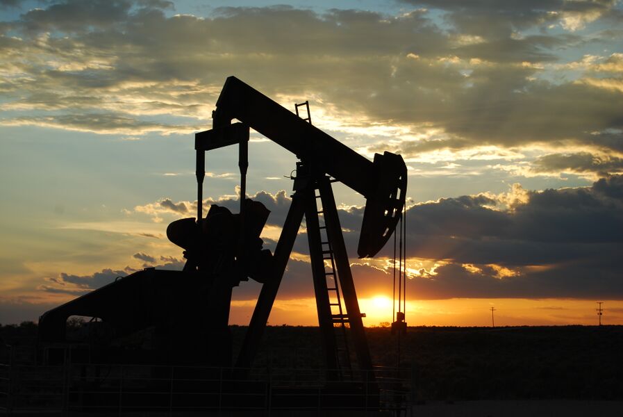
Oil and gas activity
Private mining companies, including oil and natural gas companies, can apply for leases from the U.S. Bureau of Land Management (BLM) to explore and produce energy on federal land. The company seeking a lease must nominate the land for oil and gas exploration to the BLM, which evaluates and approves the lease. The BLM State Offices make leasing decisions based on its land use plans, which contain information on the land's resources and the potential environmental impact of oil or gas exploration. If federal lands are approved for leasing, the BLM requires an application from the company containing information on how the exploration, drilling and production will be conducted. Afterward, the BLM will produce an environmental analysis and a list of requirements before work on the land can begin. The agency also inspects the companies' drilling and producing on the leased lands.[8]
In 2013, there were 47,427 active leases covering 36.09 million acres of federal land nationwide. Of that total, no leases were in Maine. In 2013, out of 3,770 new drilling leases approved nationwide by the BLM for oil and gas exploration, no leases were in Maine.[9][10][11][12][13]
The table below shows how Maine compared to neighboring states in oil and gas permits on BLM-managed lands in 2013. There were no active leases in Maine or neighboring states.
| Oil and gas leasing on BLM lands by state | ||||
|---|---|---|---|---|
| State | Active permits on BLM lands (FY 2013) | Total acres under lease (FY 2013) | State percentage of total permits | State percentage of total acres |
| Maine | 0 | 0 | 0.00% | 0.00% |
| Massachusetts | 0 | 0 | 0.00% | 0.00% |
| New Hampshire | 0 | 0 | 0.00% | 0.00% |
| Vermont | 0 | 0 | 0.00% | 0.00% |
| Total United States | 47,427 permits | 36,092,482 acres | - | - |
| Source: U.S. Bureau of Land Management, "Oil and Gas Statistics" | ||||
Payment in lieu of taxes
- See also: Payments in lieu of taxes
Since local governments cannot collect taxes on federally owned property, the U.S. Department of the Interior issues payments to local governments to replace lost property tax revenue from federal land. The payments, known as "Payments in Lieu of Taxes" (PILTs), are typically used for funding services such as fire departments, police protection, school construction and roads.[14]
Below is a table for PILTs made to Maine between 2011 and 2013. Maine received more PILTs in 2013 than Massachusetts but fewer than New Hampshire and Vermont.
| Total PILTs for Maine and neighboring states | ||||||
|---|---|---|---|---|---|---|
| State | FY 2011 | FY 2012 | FY 2013 | State's percentage of 2013 total | ||
| Maine | $303,652 | $316,048 | $299,779 | 0.00057% | ||
| Massachusetts | $101,403 | $114,403 | $111,203 | 0.03% | ||
| New Hampshire | $1,750,215 | $1,800,869 | $1,767,252 | 0.44% | ||
| Vermont | $911,147 | $942,220 | $944,378 | 0.24% | ||
| Source: U.S. Department of the Interior, "PILT" | ||||||
Environmental policy in the 50 states
Click on a state below to read more about that state's energy policy.
See also
External links
Footnotes
- ↑ 1.0 1.1 Congressional Research Service, "Federal Land Ownership: Overview and Data," accessed September 15, 2014
- ↑ U.S. Congressional Research Service, "Federal Lands and Natural Resources: Overview and Selected Issues for the 113th Congress," December 8, 2014
- ↑ America's State Parks, "Map of State Parks," accessed October 24, 2014
- ↑ Maine Department of Agriculture, Conservation and Forestry, "Parks," accessed October 24, 2014
- ↑ National Park Service, "Maine Parks," accessed October 24, 2014
- ↑ U.S. National Park Service, "2013 National Park Visitor Spending Effects Report," accessed October 14, 2014
- ↑ Maine Department of Agriculture, Conservation and Forestry, "State Parks, State Historic Sites and Public Reserved Lands," accessed October 24, 2014
- ↑ U.S. Bureau of Land Management, "Oil and Gas Lease Sales in Utah," accessed October 20, 2014
- ↑ U.S. Bureau of Land Management, "Number of Acres Leased During the Fiscal Year," accessed October 20, 2014
- ↑ U.S. Bureau of Land Management, "Total Number of Leases in Effect," accessed October 20, 2014
- ↑ U.S. Bureau of Land Management, "Summary of Onshore Oil and Gas Statistics," accessed October 20, 2014
- ↑ U.S. Bureau of Land Management, "Number of Drilling Permits Approved by Fiscal Year on Federal Lands," accessed October 20, 2014
- ↑ U.S. Bureau of Land Management, "Total Number of Acres Under Lease As of the Last Day of the Fiscal Year," accessed October 22, 2014
- ↑ U.S. Department of the Interior, "PILT," accessed October 4, 2014
| |||||||||||